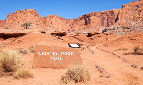
Geology
The Waterpocket Fold is a giant wrinkle in the Earth's crust that extends for nearly one hundred miles across the area of south central Utah. Capitol Reef National Park preserves the Waterpocket Fold and its picturesque array of colorful cliffs, huge domes, sky piercing spires, monoliths, winding canyons, and majestic arches.
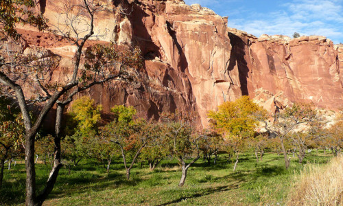
The Waterpocket Fold is made up of many layers of sedimentary rock. The layers were once horizontal, but over hundred of millions of years, the Earth's crust has lifted and shifted and the rock layers now appear to be bent into the shape of a massive fold. Wind and water continue slowly to erode the Fold creating new features
The name Capitol Reef is derived from the white domes of Navajo Sandstone that resemble capitol building rotundas (capitol) and the rocky cliffs which are a barrier to travel, like a coral reef (reef). This layer upon layer sequence of sedimentary rock records nearly 200 million years of geologic history.