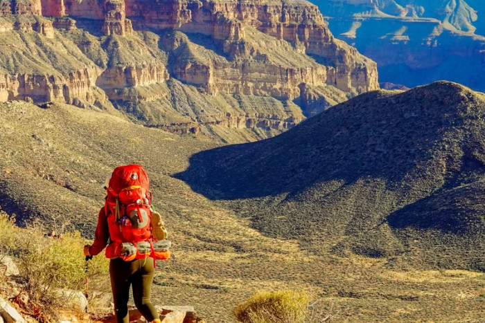
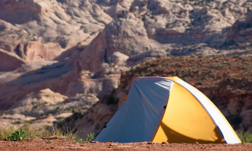
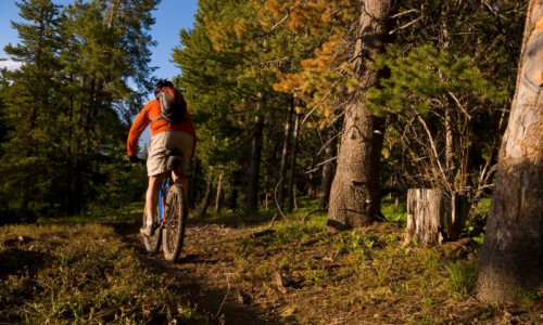
Hiking Trails

Start Your Planning With These Local Businesses
Local Businesses
Capitol Reef National Park's trail systems provide access to slot canyons, natural bridges, arches, and high mountain ridges with panoramic views of the landscape, six different species of endangered plants and a number of spectacular species of birds and desert wildlife.
Upper Muley Twist Canyon
Considered one of the "Best Hikes" in the park, Upper Muley is a full day backcountry experience offering spectacular views from the top of the Waterpocket Fold. Trailhead: The Upper Muley Twist Trailhead is located off the Burr Trail along the Strike Valley Overlook. A high clearance 4x4 is necessary to reach the actual trailhead.
- 9 miles round trip
- Partial loop
- Moderately strenuous
- Day hike
- Elevation gain 900 feet
Note: Many backcountry trails are marked by cairns and require a map and compass for navigation.
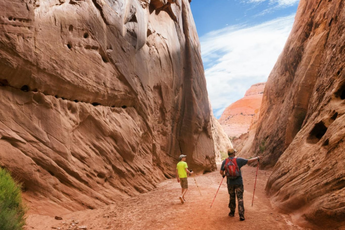
Grandwash Canyon
This trail meanders along a streambed through Wingate and Navajo sandstone walls that reach anywhere from 20 feet to 500 feet into the sky. Trailhead: The Lower trailhead for Grandwash Canyon is located on Highway 24 at a turn out 5 miles from the Capitol Reef Visitor's Center.
- Easy
- 2 hour round trip
- 2.25 miles one way
- out and back
- Elevation Change: insignificant
Note: Observe flash flood warnings posted in Grandwash Canyon.
The Golden Throne
Hike the Golden Throne around sunset and enjoy breathtaking panoramas of capitol reef from atop this Navajo sandstone monolith. Trailhead: Capitol Gorge Parking Area
- Strenuous
- 4 miles round trip
- Out and back
- Elevation Change: 1.100 feet
- 3 hours
Brimhall Natural Bridge
Brimhall Natural Bridge is a double arch located in the Waterpocket Fold in Halls Creek Canyon. Trailhead: Halls Creek Overlook Trailhead is 3 miles west of Notorn-Bullfrog Road and 57.6 miles from Utah Highway 24.
- Strenuous
- 4.6 miles round trip
- Day Hike
- Out and Back
- Elevation Change: 1600 feet
Old Wagon Trail
Follow this wagon trail through stands of Pinon Pine and Juniper for great views of the Waterpocket Fold from atop Miner's Mountain. This trail was made by the settlers as a shortcut between Grover and Capitol Gorge. Trailhead: Located .7 miles South of Slickrock Divide, 6 miles from the Visitor's Center between Grand Wash and Capitol Gorge
- Strenuous
- 3.5 mile round trip
- Loop Trail
- 3 hours
- Elevation Change: 1000 feet
Note: Do not build new rock cairns. Remember water, maps, and a compass. Follow Leave No Trace Guidelines.
- Upper Muley Twist is considered one of the best hikes in Capitol Reef.
- The Old Wagon Trail was a shortcut built by the settlers.
- Brimhall Natural Bridge is in Halls Creek Canyon.
- Golden Throne Trail is a strenuous 4 mile round trip.
- Grandwash Canyon is a great family hike.