Location
Located just a few miles southwest of Moab, Utah, the Canyonlands National Park is a mix of three unique and distinct regions. Some individuals actually consider the Park to be composed of four unique and distinct regions as they consider the rivers of the Park to be a separate region.
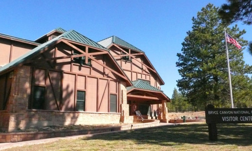
Although the Canyonlands National Park is open year-round, some of the roads and trails are impassable during the colder winter months. It is always best to check ahead once you determine where you wish to travel within the Park. Visitor centers are open daily with extended hours during the spring through the fall. Visitor centers are closed December 25th and January 1st.
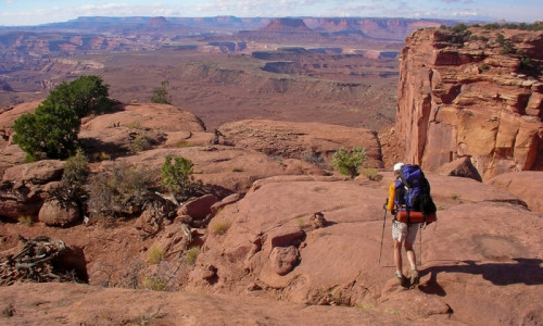
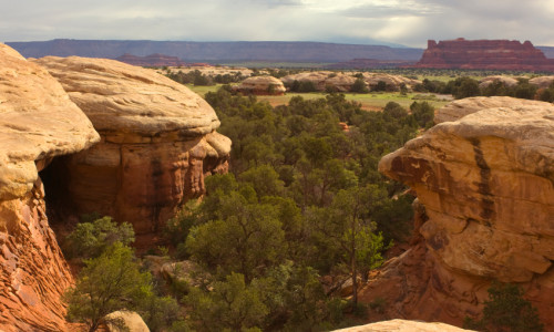
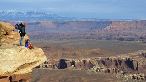
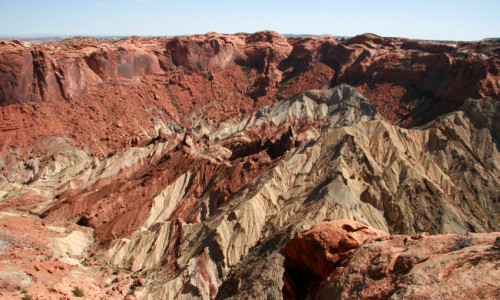
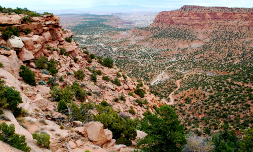
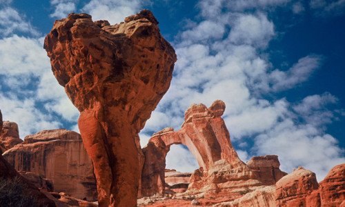
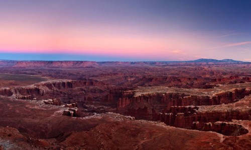
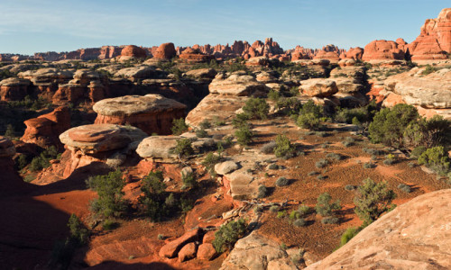
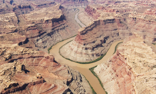
The Canyonlands preserves a multicolored landscape of sandstones eroded into numerous canyons, buttes and mesas by the Colorado River and its various tributaries. Sitting in the middle of a huge basin bordered by rough and rugged sandstone cliffs, Canyonlands is nestled in southeastern Utah.
Getting to the Park is relatively easy, however, once there, it is difficult to travel from each of the distinct regions to any of the others. There are no roads that directly link the districts. The districts may appear to be close to each other on the maps, but traveling between any of them requires at least two to six hours by car. For this reason people find it difficult to visit more than one area during any single trip to the area.