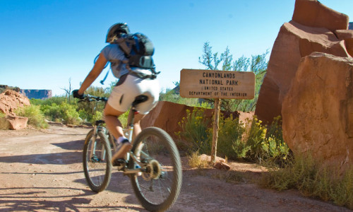
Klonzo Trails
Description
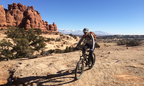
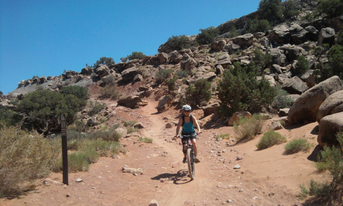
The Klonzo area is broken into two sections, the Upper Loop and Lower Loop. You can combine any of the trails you want to combine, but we'll focus on these two rides here.
The Lower Loop starts with the Borderline Trail. Join up with Cross Canyon and head towards the top of Secret Passage, a short but very fun route. Turn right back onto Cross Canyon for a short steep climb and then right onto Dunestone. Ride this loop either direction and then connect with Boondocks for great views and a quick descent to the bottom.
The Upper Loop starts at the upper parking area, where you'll start with a climb up Borderline. Turn left at the Cross Canyon intersection and continue to climb all the way to Wahoo. Ride Wahoo counter-clockwise for a fun curvy ride. Head back to Borderline and return along a fun down to your car.
Details
- Distance: The Lower Loop is 3.3 miles. The Upper Loop is 4.7 miles.
- Average Time: 1 to 3 hours, depending on the combination of trails you decide to ride.
- Elevation Gain: 350 feet (Lower Loop) to 540 feet (Upper Loop).
- Difficulty: Beginner to Intermediate.
- Trail Type: Loops ... many loops.
- Trailhead: There are 2 trailheads for this area (Lower and Upper). Visitors have their choice of two parking lots for Klonzo. From Moab, drive north on Hwy 191 for about 10 miles and turn right onto the Willow Springs Road. This is a popular camping area so just make sure to stay on the main dirt road. At mile 1.4, turn left and cross Courthouse Wash and at mile 2.0 you'll pass the Sovereign Trail parking area on the left. At mile 2.7, turn left onto a small doubletrack and the Lower Klonzo parking area will be obvious in about 100 feet. To reach the Upper Klonzo parking area, continue along Willow Springs Road to mile point 3.0, where you will turn left onto another doubletrack and drive just under a quarter mile to a slickrock area. Park here and the trail goes left.
Plan and Prepare
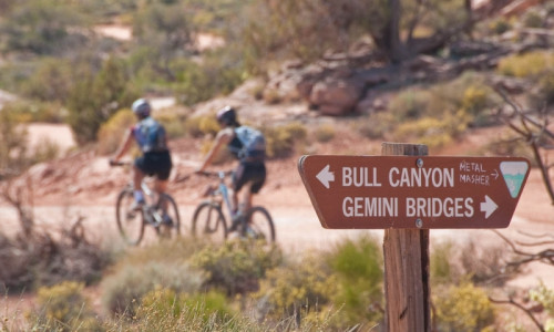
The trails in this area can be slightly confusing because there are many junctions. Make sure to grab a map at a local bike shop before heading out.